Nautical
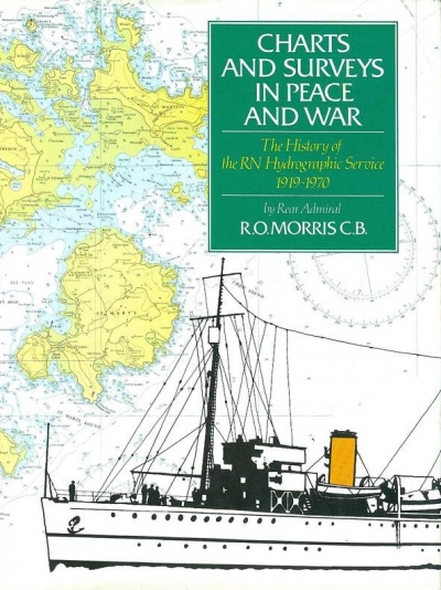
The History of the Royal Navy’s Hydrographic Service 1919-1970, numerous b&w illustrations from photographs and reproductions of charts, diagrams and tables, appendices (including one listing all surveying ships), index, viii & 280 pp, navy blue cloth in d/w, fore-edge of d/w a trifle rubbed, small stain to front endpaper, otherwise in very good condition, Her Majesty’s Stationery Office 1995
24.5 x 17.8 cm, 1060g, ISBN 0 11772 456 4
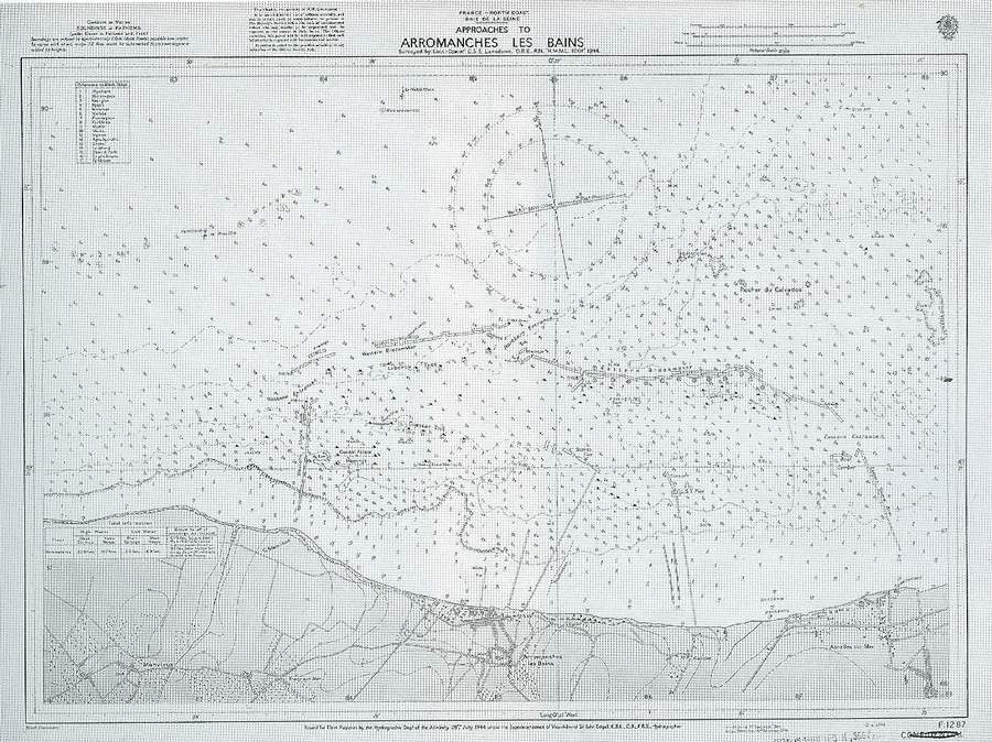
That is, the branch of the Royal Navy which produced the detailed charts required for safe navigation – see, for example, the chart below of the D-Day Mulberry harbour off Arromanches. See also below the description from the dustwrapper flap.
Now out of print. The book was published at £35 in 1995, which would be £82 in today’s money.
A heavier book than you might think, so it would cost a good deal to send abroad. If you are outside the U.K. and are thinking about buying it, please email us first on enquiries@monkshillbooks.co.uk and we will quote a price for postage.