Topography
Books > Topography > MAPS OF PORTSMOUTH BEFORE 1801
Hodson, D. (compiler)
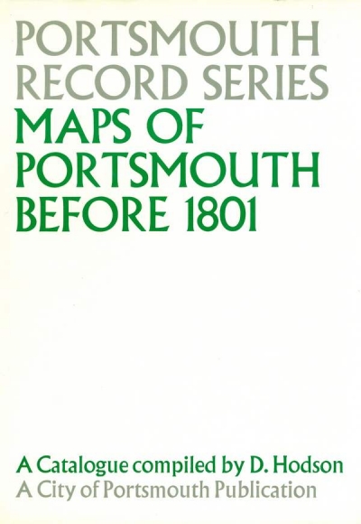
MAPS OF PORTSMOUTH BEFORE 1801
Portsmouth Record series, 10 b&w illustrations of early maps, further map on endpapers, appendices (including biographical notes on map-makers, chronological list of maps and index to the location of maps), general index, xxviii & 169 pp, black cloth in d/w, a few pages a little creased at top corner, otherwise in very good condition, City of Portsmouth 1978
29 x 20.8 cm, 910g, ISBN 0 90155 931 8
See the description below from the dustwrapper flap.
Long out of print.
£9.75
(FREE UK Mainland delivery)
Click to enlarge images below